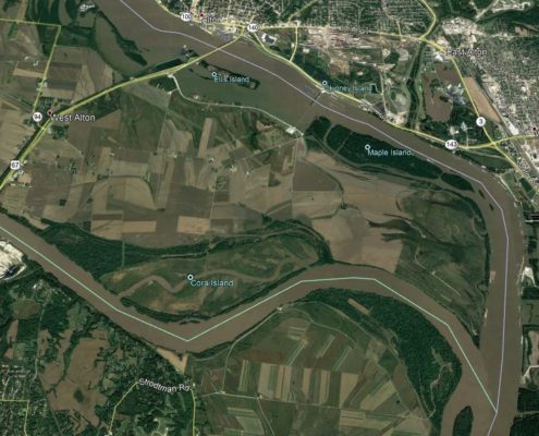
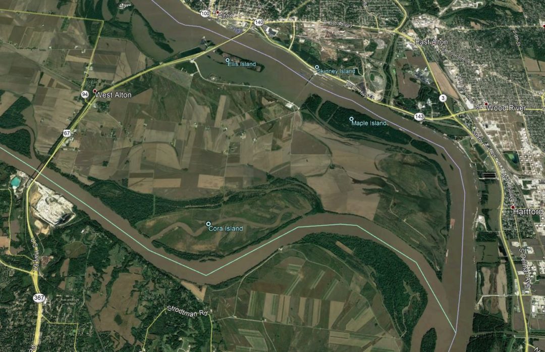
 The Cora Island Project was a component of the U.S. Army Corps of Engineers overall Missouri River Recovery Program. In cooperation with the U.S. Fish and Wildlife Service the goal was to restore 1,265 acres of shallow water habitat by constructing channel chutes from the Missouri River to reclaimed floodplain. The Clayton Engineering Company provided GPS control and set monumentation for machine control throughout the project. Further involvement included 3d topographic models using survey data and data provided by the U.S. Army Corps of Engineers to determine earthwork quantities for the new chutes. As-Built documents were provided for model comparisons from pre and post conditions.
Cora Island was named after a sunken steamboat (Cora #2) that became snagged near the mouth of the Missouri River and Mississippi River confluence in the late 1800’s. Over time, sediment and debris floating down the Missouri River accumulated around the wreckage which created the island known as Cora Island. Past efforts to deepen and channelize the Missouri River have led to a loss of habitat. Cora Island was chosen as one of the recovery programs to restore habitat on the island.
An article on STL Today is located here: Answer to Missouri River flood control found in serene waters of Cora Island

